
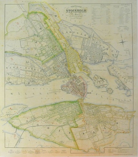
Stockholm - Mentzer ca 1860.
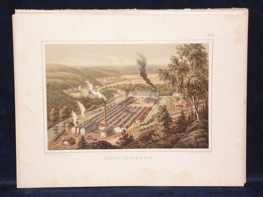
'Jonsereds Fabriker.' - Gustaf Pabst 1870-1879.
'A General Map of Great Britain and Ireland...' - Homann 1729.
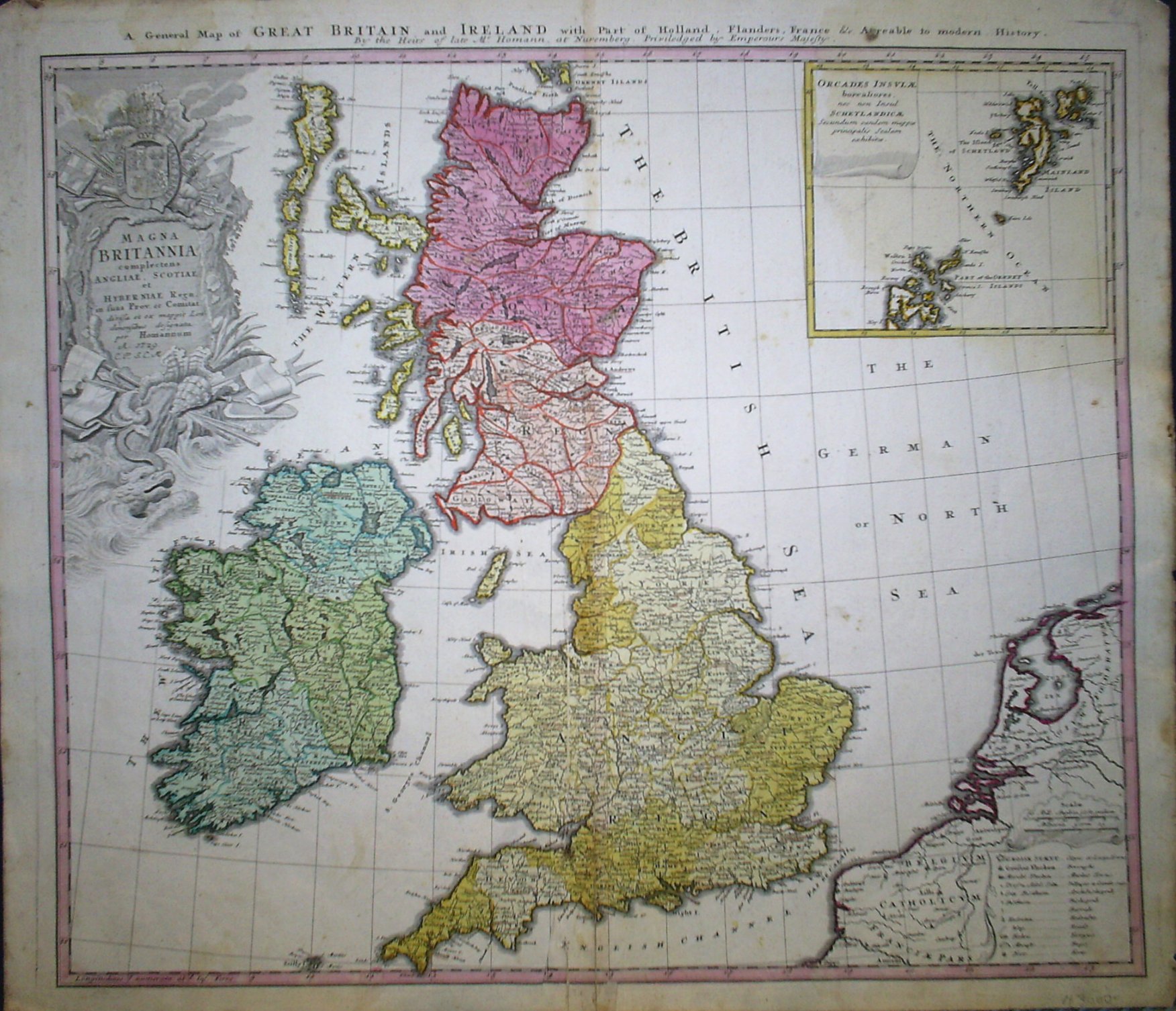
A General Map of Great Britain and Ireland with Part of Holland, Flanders, France &c.
Agreable to modern History. By the Heirs of late Mr. Homann, at Nuremburg. Priviledged by Emperours Majesty.
Magna Britannia compectens Angliae, Scotiae et Hyberniae Regn. in suas Prov. ec Comitat. dirisa et ex mappis Londinensibus designata per Homannum A. 1729. C. P. S. C. M.
Med infälld karta: 'Orcades Insulae borealiores, nec non Insul Schetlandicae Secundum eandem mappae principalis Scalam exhibitae.'
Koppargraverad karta med originalkolorering.
Storlek: 56x49 cm. Kartytans bredd x höjd.
Reparerad i mittveck.
Pris: 3000 SEK - 26931 - Se bild.
Europa - Västeuropa - Storbritannien, Irland, Frankrike, Holland, Belgien -
